James Spann: Rain in Alabama at times today
James Spann has the Alabama forecast for Thursday and an early look toward the weekend from Alabama NewsCenter on Vimeo.
SOGGY START: A large mass of rain, with a few embedded thunderstorms, is over Alabama this morning. Look for wet weather through the morning; showers and storms diminish this afternoon. The sky will be cloudy today with a high in the 60s, and there is no risk of severe storms. Rain amounts today will be one-half inch to 1 inch for most communities.
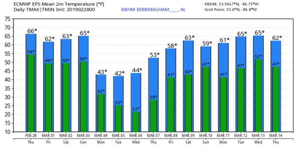
TOMORROW AND THE WEEKEND: While we can’t totally rule out a shower in spots tomorrow, the day will be generally dry. Expect more clouds than sun; the high will be in the 60- to 65-degree range. We don’t see much change for Saturday. A few showers are possible during the day, but they should be widely spaced, and most of the day will be dry. Saturday’s high will be in the low to mid 60s as well.
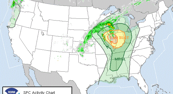
Sunday will be a different story, as we expect widespread rain and thunderstorms thanks to an approaching cold front. The air will be unstable, and the Storm Prediction Center has introduced a severe weather threat for the northern two-thirds of the state.
Some of the storms across Alabama Sunday could produce hail and strong, gusty winds, and possibly a few tornadoes. There is still model disagreement concerning severe weather parameters, however; we will be able to be much more specific about the magnitude of the threat tomorrow and Saturday.
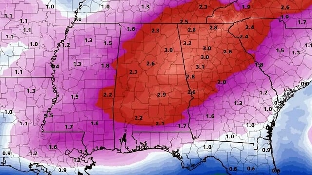
Rain amounts of 1-2 inches are likely, and the rain will taper off Sunday night as much colder air rushes into the state.
A few snow flurries are possible over the northern third of the state Sunday night and early Monday morning, but we expect no impact.
COLD AIR RETURNS: Much colder air continues to blow into Alabama early next week. The sky becomes partly sunny Monday, but we won’t get out of the 40s with a biting north wind of 12-22 mph. Temperatures drop well below freezing early Tuesday and Wednesday morning, in the 20- to 25-degree range. Colder spots across north Alabama will dip into the teens. Another freeze is likely early Thursday; then a warming trend begins Thursday afternoon with highs back in the 50s. Most of the week will be dry.
ON THIS DATE IN 2011: Four tornadoes touched down in Alabama, all EF-0 or EF-1. The damage was in Talladega, Autauga, Elmore, Chambers and Lowndes counties. It served as the beginning of the most active tornado season on record for the state.
BEACH FORECAST: Click here to see the AlabamaWx Beach Forecast Center page.
WEATHER BRAINS: You can listen to our weekly 90-minute show any time on your favorite podcast app. This is the show all about weather featuring many familiar voices, including the meteorologists at ABC 33/40.
CONNECT: You can find me on the major social networks:
Facebook
Twitter
Instagram
Pinterest
Snapchat: spannwx
For more weather news and information from James Spann and his team, visit AlabamaWx.