James Spann: Calm weather for Alabama through Thursday
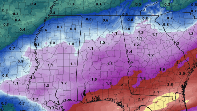
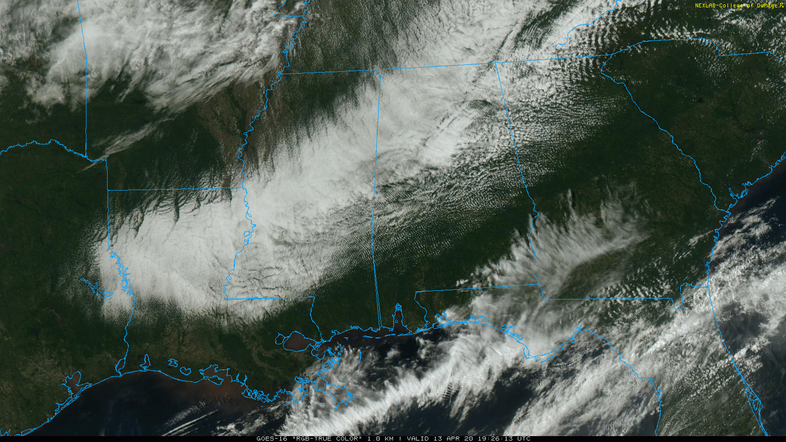
DRY THROUGH THURSDAY: A calm weather pattern will continue across Alabama through Thursday. Clouds cover much of north Alabama this afternoon, with sunshine across the southern half of the state. Temperatures are only in the upper 40s and low 50s over the northern quarter of the state, more than 20 degrees below average. The sky will gradually clear tonight; we project a low in the 40- to 45-degree range early Tuesday.
We are forecasting a mix of sun and clouds Tuesday and Wednesday with highs in the 60s. The coldest mornings will come early Wednesday and Thursday with temperatures dropping into the 35- to 42-degree range for north and central Alabama. Colder pockets will have potential for a late-season freeze, and many locations will have frost on these two mornings. Thursday will be a sunny day with a high in the low 70s.
FRIDAY AND THE WEEKEND: A disturbance will bring clouds into the state Friday with the chance of some light rain at times; the high will be in the 70- to 75-degree range. Saturday will be a mostly sunny day as the weekend begins with a high around 70 degrees. Clouds increase Sunday, and rain is likely Sunday night as a low-pressure area moves through south Alabama. For now no severe storms are expected with the projected path of the low.
NEXT WEEK: Rain ends early in the day Monday, and the middle of next week looks dry with seasonal temperatures — highs in the 70s.

SOUTHERN STORMS: At least 23 people were killed in the severe weather outbreak across the Deep South over the past 30 hours in Mississippi, Tennessee, Georgia and South Carolina. There are no known fatalities so far in Alabama, but there were a number of injuries. National Weather Service Birmingham has rated the Carbon Hill tornado in Walker County EF-1. Other survey teams are out assessing damage across Alabama this afternoon; it is likely at least four tornadoes touched down. Much of the damage across the state was related to damaging straight-line winds.
ON THIS DATE IN 1999: A two-mile-wide area of wind-driven hail pounded residences and farm equipment for about a five-mile stretch at least as far as State Highway 158 in west Texas near Midland/Odessa. Hail grew up to about golf-ball size and winds peaked at approximately 80 mph. The wind-driven hail broke windows in houses and blasted paint off the wooden siding. Utility crews stated that the winds downed 27 poles. The American Red Cross determined that 324 units were affected, with 18 mobile homes and four houses destroyed. About 50-60 families were at least temporarily displaced.
BEACH FORECAST: Click here to see the AlabamaWx Beach Forecast Center page.
WEATHER BRAINS: You can listen to our weekly 90-minute show anytime on your favorite podcast app. This is the show all about weather featuring many familiar voices, including the meteorologists at ABC 33/40.
CONNECT: You can find me on all of the major social networks:
Facebook
Twitter
Instagram
Pinterest
Snapchat: spannwx
For more weather news and information from James Spann and his team, visit AlabamaWx.


