James Spann: Scattered showers, storms for Alabama through midweek
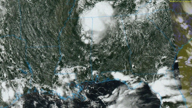
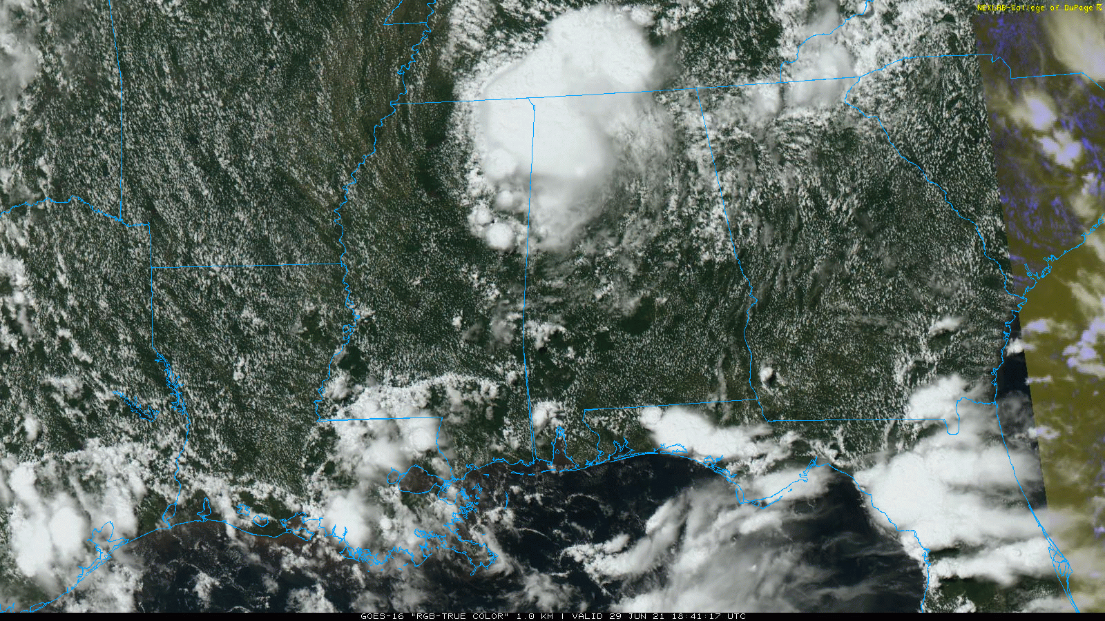
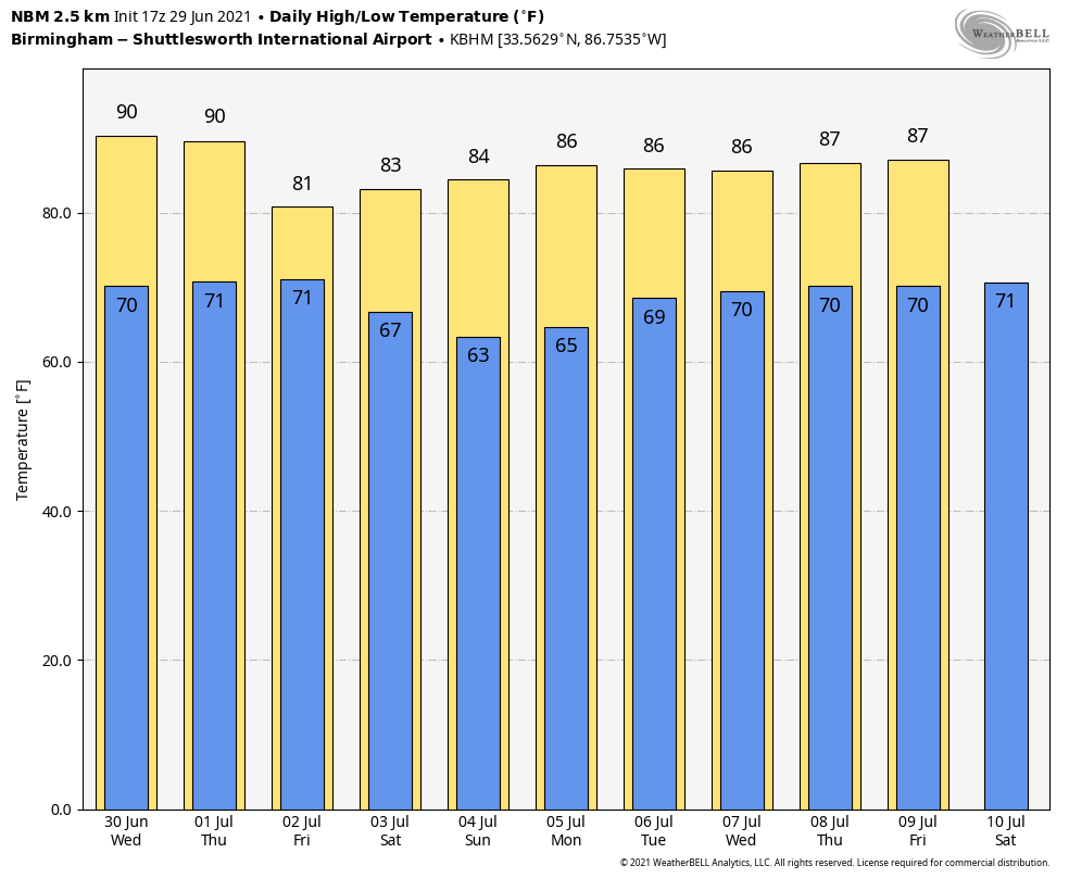
RADAR CHECK: The area of rain associated with the remnants of Tropical Storm Danny is over the northwest corner of Alabama this afternoon; otherwise we have a mix of sun and clouds with a few widely scattered showers and thunderstorms. Temperatures are in the 70s over the northwest counties due to clouds and lingering rain; most other places are in the low to mid 80s. The average high for June 29 at Birmingham is 90. Scattered showers will end after sunset.
WEDNESDAY/THURSDAY: Look for partly sunny, warm, humid weather both days with the typical chance of random, scattered, mostly afternoon and evening showers and thunderstorms. The chance of any one spot getting wet will be 25-35%, and highs will be between 85 and 89 degrees for most communities.
FRIDAY: An approaching cold front will bring a fairly wet day to the state. The sky will be mostly cloudy with periods of rain and a few thunderstorms. Temperatures will hold in the 70s in many places because of clouds and rain. Rain amounts of around 1 inch are likely.
THE HOLIDAY WEEKEND: The forecast continues to improve for the northern half of the state. Global models suggest the front will have enough southward push to make it down into south Alabama by Saturday morning, and we will remove the chance of rain for the northern half of the state Saturday and Sunday. Look for partly to mostly sunny days, lower humidity levels and cooler nights. Highs will be between 82 and 86 degrees and many places will dip into the cool 50s early Sunday morning (very rare for July in Alabama).
Showers and storms over the weekend will be confined to south Alabama and the Gulf Coast, mainly south of U.S. 84. Even there, however, the weekend won’t be a washout; just be ready for a passing shower or storm from time to time.
NEXT WEEK: The weather still looks fairly dry for the northern two-thirds of the state Monday and Tuesday; then moisture levels rise over the latter half of the week with the return of scattered showers and thunderstorms. Highs will be in the 80s.
TROPICS: The National Hurricane Center is monitoring two tropical waves in the Atlantic. The lead wave, Invest 95L, has just a 20% chance of development over the next five days. Regardless of development, this system could bring locally heavy rainfall to portions of the Lesser Antilles during the next few days.
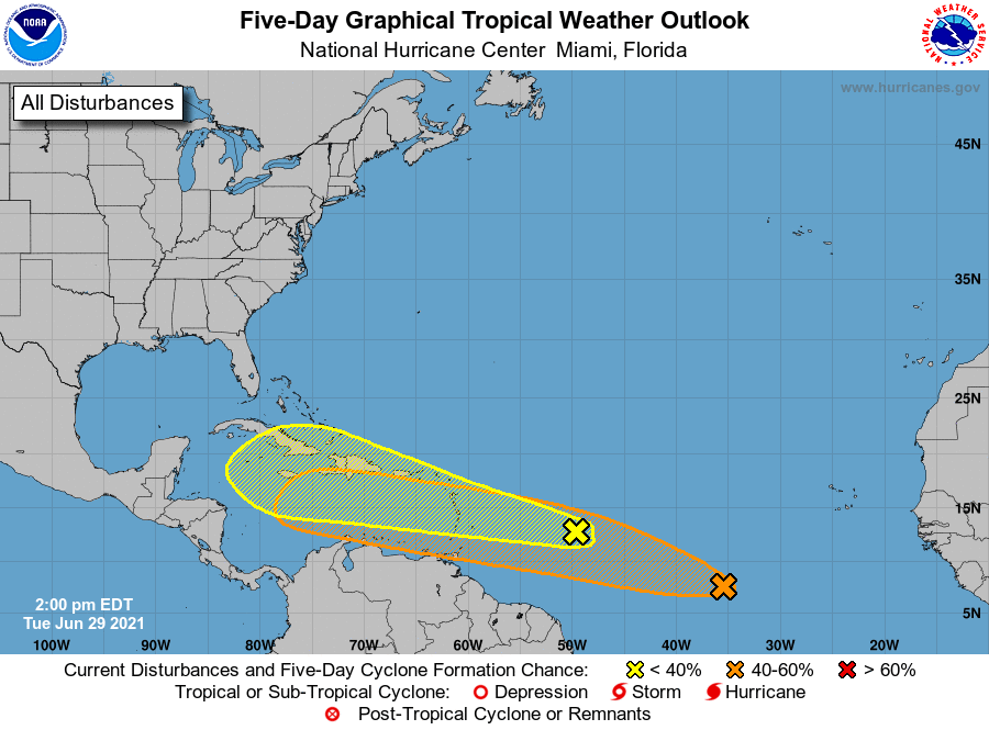
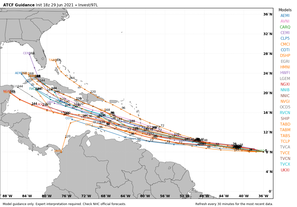
The trailing wave in the eastern Atlantic, Invest 97L, has the highest chance of development over the next five days (40%); most models take this one into the Caribbean by the weekend, and potentially into the Gulf of Mexico next week. But we stress it is way too early to know the final destination or intensity of this system; it is simply something to watch for now.
ON THIS DATE IN 1998: The Corn Belt Derecho of 1998 moved through Nebraska, Iowa, Illinois, Indiana and Kentucky. The derecho, which originated in far southeast South Dakota, moved across Illinois during the afternoon and evening and continued as far east as Ohio the next morning. Every county in central Illinois sustained some damage as these severe thunderstorms passed. Winds gusted in the 60 to 80 mph range, with some localized microbursts producing winds of more than 100 mph.
BEACH FORECAST: Click here to see the AlabamaWx Beach Forecast Center page.
WEATHER BRAINS: You can listen to our weekly 90-minute show any time on your favorite podcast app. This is the show all about weather featuring many familiar voices, including the meteorologists at ABC 33/40.
CONNECT: You can find me on the major social networks:
For more weather news and information from James Spann and his team, visit AlabamaWx.


