James Spann: Sun and scattered afternoon storms for Alabama
James Spann forecasts daily chances of rain in Alabama through the week from Alabama NewsCenter on Vimeo.
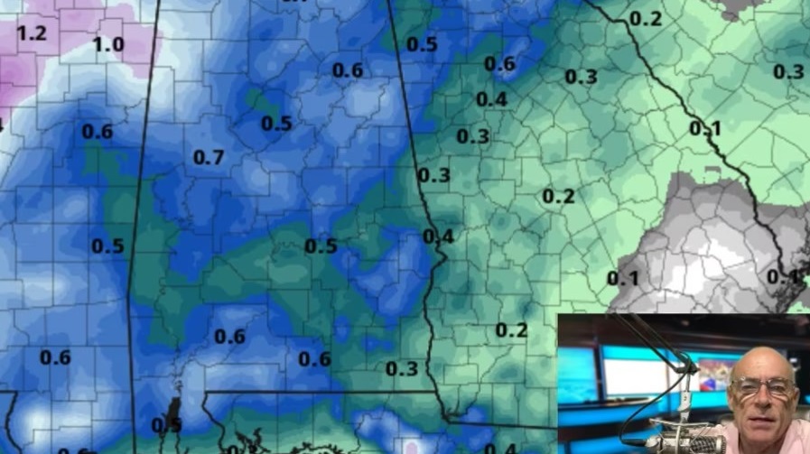
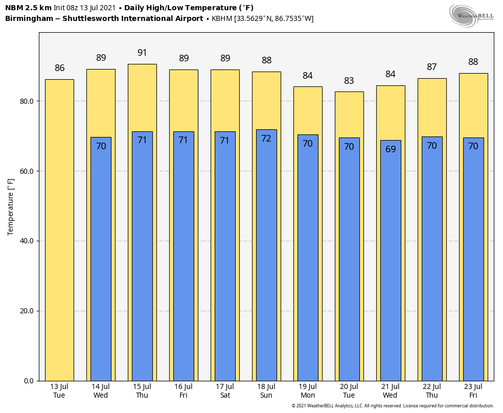
WARM, HUMID SUMMER DAY: Alabama’s weather won’t change much for the rest of the week. A blanket of moist air will continue to hang over Alabama and the Deep South, which is what you expect in mid-summer around here. Like recent days, we will have to dodge scattered showers and thunderstorms, mostly during the afternoon and evening hours. It won’t rain everywhere; the chance of any one spot getting wet today is 50-60%. Otherwise expect a mix of sun and clouds with a high in the mid 80s. The average high for Birmingham on July 13 is 91.
Scattered storms might be a little less numerous Wednesday and Thursday, but the overall pattern remains the same through Friday — a classic summer mix of sun and scattered showers and storms, most active from about 1 until 11 p.m. Highs will be in the mid to upper 80s.
THE ALABAMA WEEKEND: Warm, humid weather continues Saturday and Sunday. We expect a mix of sun and clouds both days with the usual round of scattered, mostly afternoon and evening showers and thunderstorms. Odds of any one location seeing rain both days will be 40-50%, and highs will remain between 85 and 89 degrees.
NEXT WEEK: The overall pattern won’t change much — partly sunny days with scattered showers and thunderstorms daily, mostly during the afternoon and evening. Temperatures remain below average, with highs generally in the mid to upper 80s.
TROPICS: The Atlantic basin remains very quiet, and tropical storm formation is not expected through the next five days. The peak of the season comes in August, September and early October.
RAIN UPDATE: Here are rain totals so far this year, and the departure from average:
- Mobile — 47.41 inches (11.21 inches above normal)
- Tuscaloosa — 43.31 (13 above normal)
- Birmingham — 37.9 (5.35 above normal)
- Huntsville — 36.23 (5.2 above normal)
- Dothan — 36.17 (6.71 above normal)
- Muscle Shoals — 35.65 (4.58 above normal)
- Montgomery — 31.67 (2.95 above normal)
- Anniston — 30.62 (0.34 above normal)
ON THIS DATE IN 1951: Rivers across eastern Kansas crested well above flood stage, causing the most significant destruction from flooding in the Midwestern United States at that time. Five-hundred-thousand people were left homeless and 24 people died in the disaster.
BEACH FORECAST: Click here to see the AlabamaWx Beach Forecast Center page.
WEATHER BRAINS: You can listen to our weekly 90-minute show any time on your favorite podcast app. This is the show all about weather featuring many familiar voices, including the meteorologists at ABC 33/40.
CONNECT: You can find me on the major social networks:
For more weather news and information from James Spann and his team, visit AlabamaWx.