Scott Martin: Several days of quiet weather for Alabama
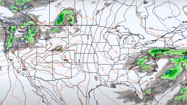
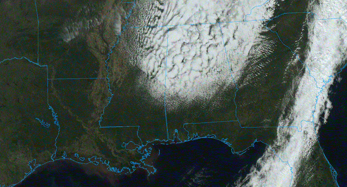
TODAY: We’ll have some clouds moving through the northern half of the state from the backside of the low that brought the cold front through Alabama on Friday. The southern half of the state will see plenty of sunshine. It may be a little breezy at times, with afternoon highs ranging from the upper 60s to the lower 80s.
SUNDAY: The low moves off the coast on Sunday, but it won’t go too far away. We’ll have sunny skies with highs in the upper 70s to the mid 80s.
NEXT WEEK: We’ll continue the warming trend Monday underneath sunny skies. Highs will be in the 80s. It will be hot on Tuesday, with tons of sunshine and highs in the mid 80s to the lower 90s. Wednesday will be even hotter, with sunny skies and highs in the upper 80s to the mid 90s.
The low that has been hanging just off the Atlantic Coast will start to move back westward Thursday, and we’ll start to feel some cooling effects of the northerly winds off of it. Skies will remain sunny, with highs slightly dropping back into the mid 80s to the lower 90s from east to west. It will be cooler again on Friday as we’ll have a few clouds move in from the east, and we could see a few showers and thunderstorms for the eastern half of Alabama as that low moves onshore. At this point, severe weather is not likely. Highs will be in the 80s.
ON THIS DATE IN 1840: A powerful tornado wrecked many boats at the Natchez Landing in Mississippi, then plowed through the city on the bluff. The tornado killed 317 people and caused $1 million damage. The force of the storm caused houses to burst open. The tornado was the most deadly and destructive in early American history.
For more weather news and information from James Spann, Scott Martin and other members of the James Spann team, visit AlabamaWx.
