James Spann: Scattered to numerous showers, storms for Alabama through the weekend
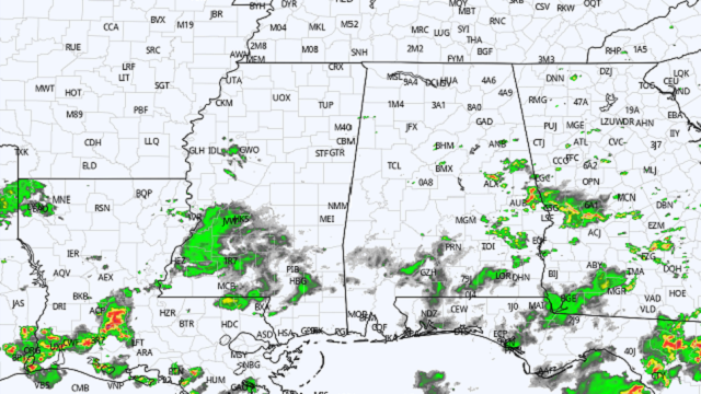
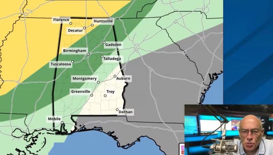
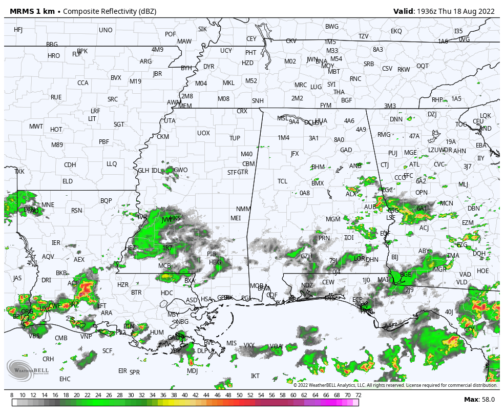
RADAR CHECK: Showers and storms are most active east of I-65 (over the eastern half of Alabama) this afternoon, but we note new scattered showers forming on the western side of the state as well. The sky is generally cloudy, and temperatures are between 78 and 84 degrees at most locations, well below average for mid-August. Scattered showers remain possible tonight as moist air will move slowly northward.
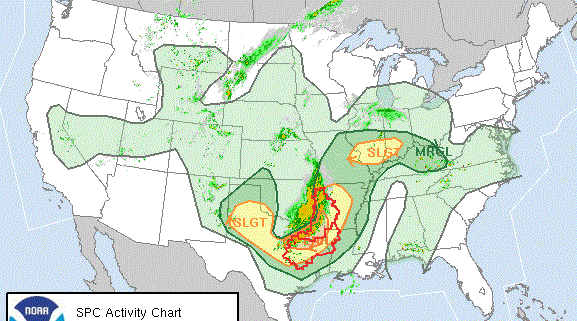
 FRIDAY THROUGH THE WEEKEND: Moist, unstable air will cover the state, and we expect scattered to numerous showers and thunderstorms each day. It won’t rain everywhere each day, but be ready for a shower or storm at just about any hour. The sky will be generally cloudy, and highs will remain in the low to mid 80s. Severe storms are not expected, but the rain could be heavy in spots. Most but not all of the showers will come in the noon-to-midnight window.
NEXT WEEK: The pattern won’t change much, at least for the first half of the week, with a number of showers and storms. The air could be a little drier Thursday and Friday over north Alabama, and highs hold in the 80s. There’s still no sign of 90-degree heat for the rest of August.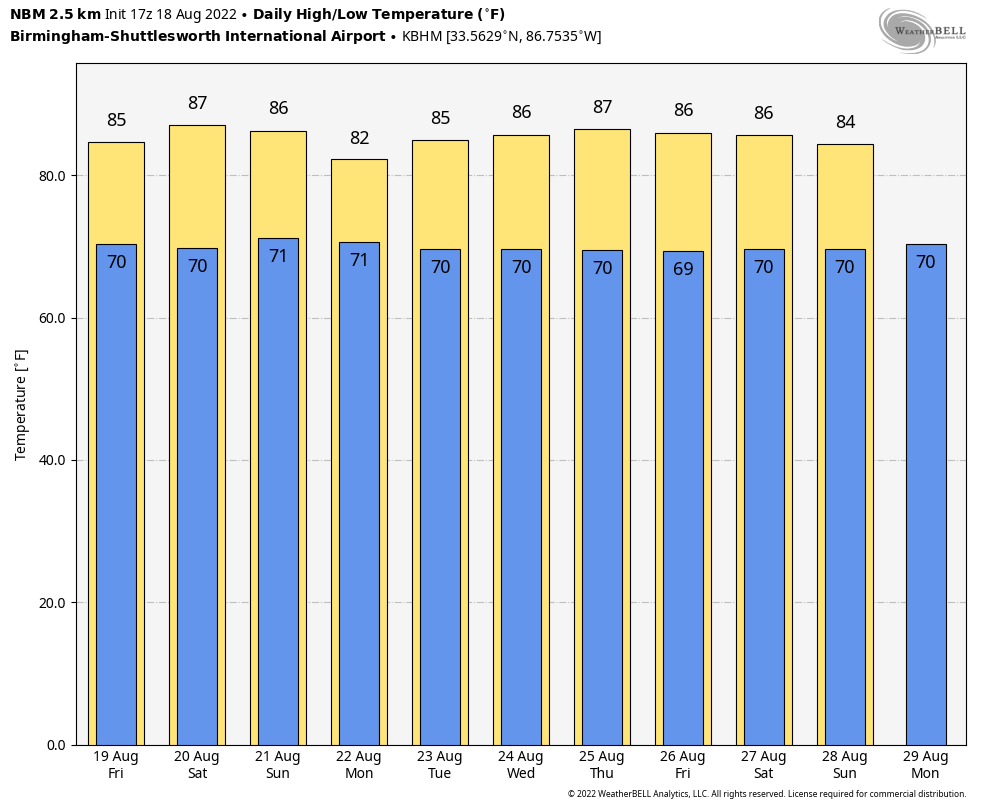 TROPICS: Showers and thunderstorms associated with a tropical wave over northern Guatemala and southeastern Mexico have become a little better organized since Wednesday. This system is forecast to emerge into the Bay of Campeche Friday, where an area of low pressure could form. After that, additional slow development of this system is possible while it moves northwestward over the southwestern Gulf of Mexico. By Saturday night, the system is expected to move inland over northeastern Mexico.
If anything happens to develop, it won’t get near the central Gulf Coast. The National Hurricane Center gives it a 30% chance of becoming a depression or storm over the next five days. The rest of the Atlantic basin remains remarkably quiet for mid-August.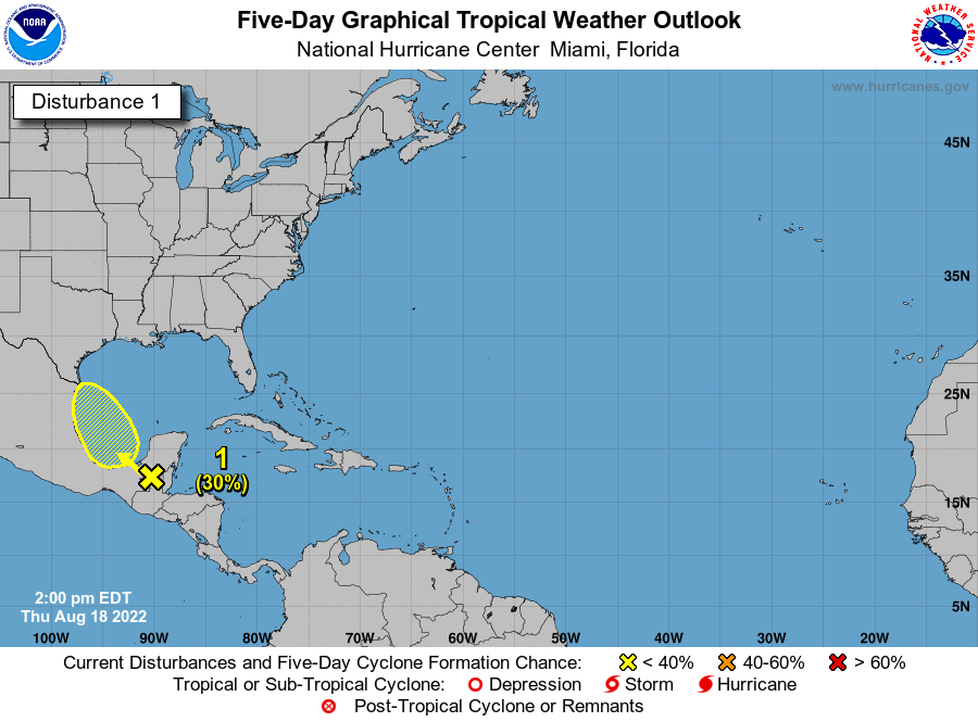 HIGH SCHOOL FOOTBALL: For the games Friday night, a few scattered showers and storms will be around. There’s no way of knowing the exact timing or location, but take the rain gear and know there could be a few lightning delays at stadiums across Alabama. Temperatures will fall from the low 80s at kickoff into the upper 70s by the second half of the games.
ON THIS DATE IN 1925: During the late morning a severe hailstorm struck southeastern Iowa, destroying crops along a path 6 to 10 miles wide and 75 miles long. The hail also injured and killed poultry and livestock and caused a total of $2.5 million damage. The hailstorm flattened fields of corn to such an extent that many had to leave their farms in search of other work.
ON THIS DATE IN 1991: Hurricane Bob brushed the Outer Banks of North Carolina, bringing strong winds and heavy rains. Although a maximum of 5.3 inches of rain fell at the National Weather Service office building at Cape Hatteras, little heavy rain fell inland of the Outer Banks. Bob would go on to be one of the costliest hurricanes in New England history; 18 fatalities were reported. The loss of life and most of the damage occurred as a result of high winds and rough seas. There were six confirmed tornadoes during its passage. Bob is the most recent tropical cyclone to hit the New England states directly as a hurricane.
BEACH FORECAST: Click here to see the AlabamaWx Beach Forecast Center page.
For more weather news and information from James Spann and his team, visit AlabamaWx.