James Spann: Warm, humid weather continues for Alabama with scattered showers, storms

RADAR CHECK: At mid-afternoon most of the scattered showers and storms across Alabama are over the Tennessee Valley; a few spots there are seeing heavy rain. But for the rest of the state, showers are few and far between with a mix of sun and clouds. Temperatures are mostly between 84 and 89 degrees, and the scattered showers will end this evening.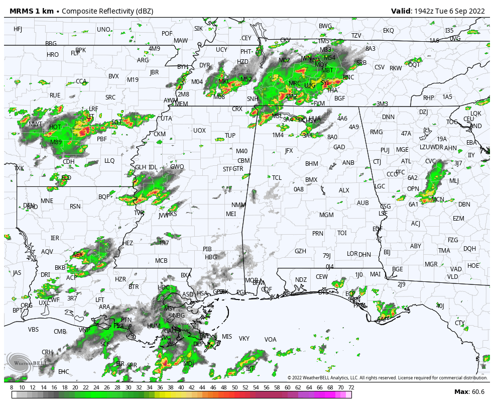 The weather won’t change much Wednesday and Thursday — warm and humid with scattered, mostly afternoon and evening showers and storms. Odds of any one spot getting wet both days are 20-30% and highs will be mostly in the mid 80s.
FRIDAY AND THE WEEKEND: Deeper moisture surges into the state Friday, and rain will become more widespread — still not an all-day, all-night kind of rain, but expect occasional showers and a few thunderstorms. The showers Friday will be very efficient rain producers, and some flooding is possible with the saturated soil conditions. Temperatures will likely hold in the 70s all day Friday with little if any sun.
The weekend won’t be much different. It won’t be a washout, but occasional showers and storms are likely Saturday and Sunday with potential for heavy rain in places and highs between 78 and 83 degrees both days. Of course, there’s no way of knowing now exactly when and where the rain will come, but you will need rain gear if you have an outdoor event planned or will be attending one.
NEXT WEEK: We will hang on to a good chance of showers and thunderstorms Monday, but global models continue to suggest a nice push of dry, continental air will arrive Tuesday with lower humidity. Midweek looks dry, and many spots could dip into the 50s early Wednesday morning for a nice fall feel.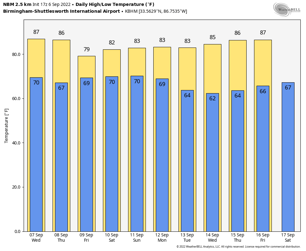 TROPICS: Hurricane Danielle is in the North Atlantic with winds of 75 mph; it will become post-tropical within 36 hours and will remain far from land. Earl is a tropical storm in the Central Atlantic with winds of 65 mph; it is moving northward and will likely become a hurricane Wednesday, but it will also remain far from land.
The National Hurricane Center is monitoring a tropical wave in the eastern Atlantic, and another one that will emerge off the coast of Africa Wednesday. If these develop, they will turn north into the open Atlantic and seem to be no threat to land. No tropical systems will threaten the U.S.Gulf Coast or Atlantic coast for at least the next seven to 10 days.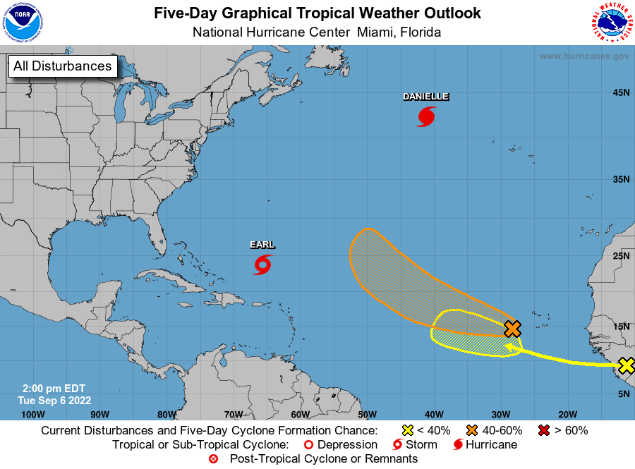 ON THIS DATE IN 1933: The remnant low of the Treasure Coast Hurricane dumped 10.33 inches of rain in Charleston, the second-highest 24-hour rainfall total on record for the downtown station. The storm produced wind gusts of 51 mph and also spawned a tornado near the city.
ON THIS DATE IN 2017: Category 5 Hurricane Irma affected the U.S. Virgin Islands and Puerto Rico. Maximum sustained winds were at 180 mph when the storm hit St. Thomas and St. John. Catastrophic damage was reported over the U.S. Virgin Islands and significant damage over Puerto Rico, especially over Culebra.
BEACH FORECAST: Click here to see the AlabamaWx Beach Forecast Center page.
For more weather news and information from James Spann and his team, visit AlabamaWx.


