James Spann: Gradual clearing tonight for Alabama; dry through the weekend
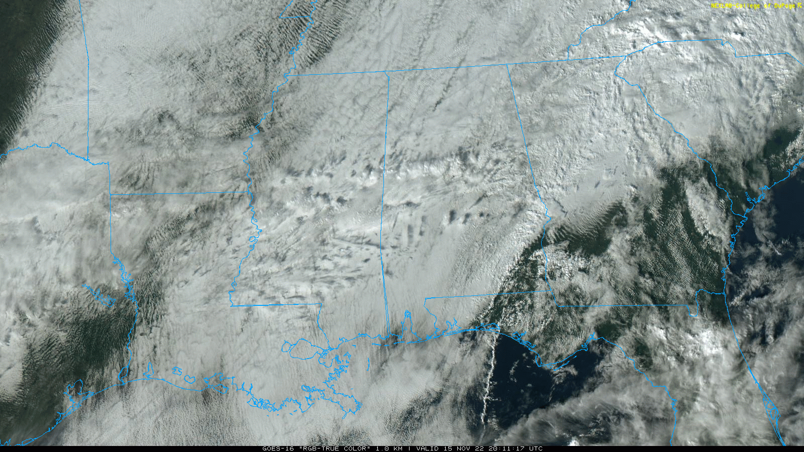
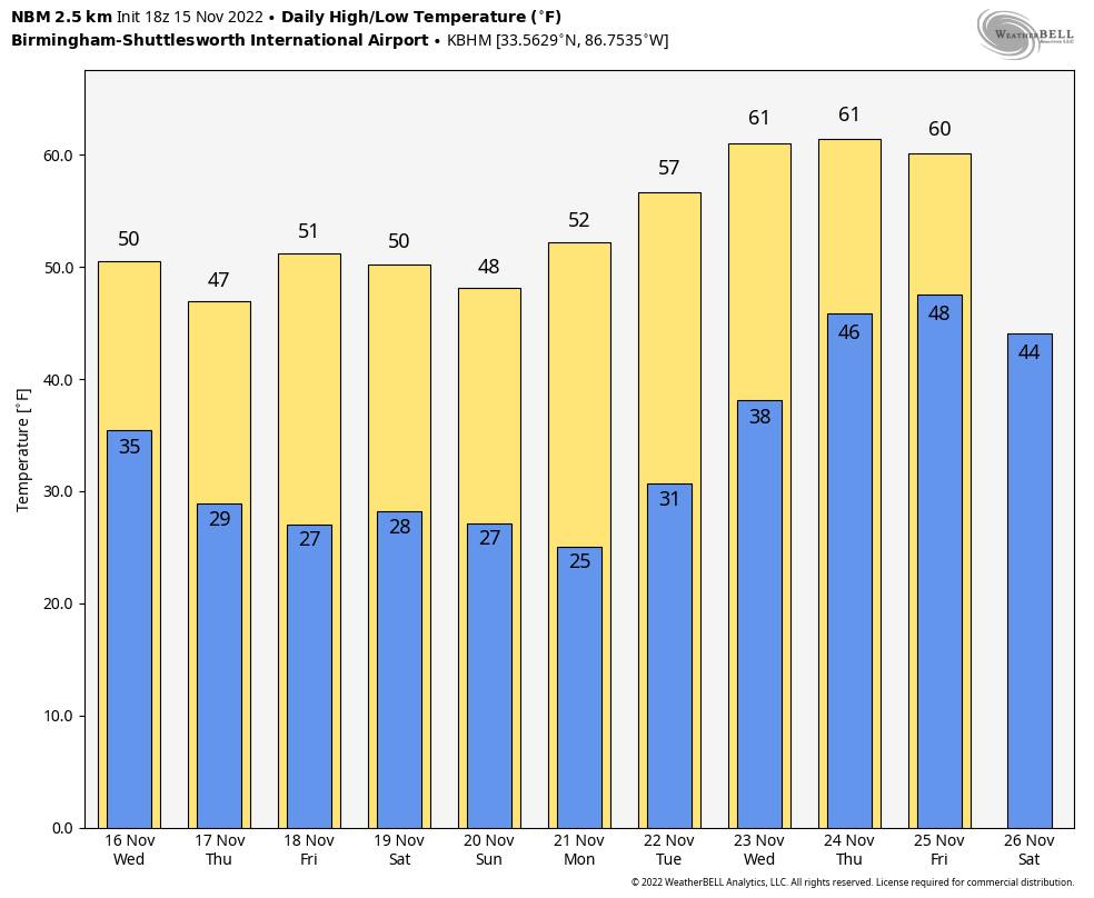
OVERCAST, COOL NOVEMBER DAY: While most of the rain has moved out of the state, clouds linger this afternoon with temperatures generally in the 50s. The exception is the southeast corner of the state, where Dothan has soared into the mid 70s. Look for gradual clearing tonight; temperatures drop into the low to mid 30s early Wednesday morning.
REST OF THE WEEK AND THE WEEKEND: It is a dry forecast with temperatures below average. Wednesday will feature a mix of sun and clouds; then look for sunny, cool days and clear, cold nights Thursday through Sunday. The high will be in the low 50s Wednesday, followed by upper 40s Thursday. Then, expect highs mostly in the 50s Friday through the weekend. Expect subfreezing lows, generally between 26 and 32 degrees.
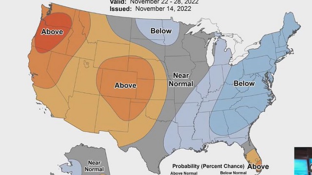
NEXT WEEK: Dry weather continues Monday through Wednesday with a trend toward warmer afternoons. Temperatures reach the low 60s by Wednesday (still a bit below average for late November in Alabama). The next weather system will bring rain and possibly thunderstorms to the state either on Thanksgiving Day or Black Friday; models are not in good agreement concerning the timing at this point.
TROPICS: The Atlantic basin is quiet, and tropical storm formation is not expected through the weekend. Hurricane season ends at the end of this month.
ON THIS DATE IN 1989: An F4 tornado tore through southern Huntsville around 4:30 p.m.; it was responsible for 21 deaths and 463 injuries. It touched down near Madkin Mountain on Redstone Arsenal, southwest of Huntsville. The tornado moved northeast toward the heavily populated Airport Road area, where it would destroy or damage 80 businesses, three churches, a dozen apartment buildings and more than 1,000 cars. It moved on, climbing over Garth Mountain, demolishing Jones Valley Elementary School and destroying 259 homes in the Jones Valley area. The tornado was on the ground for just over 18 miles; 12 of the 21 fatalities occurred in automobiles, as many people were homeward bound during the afternoon rush hour.
The tornado warning came late; this was before Doppler Radar was operational.
ON THIS DATE IN 2007: Tropical Cyclone Sidr, a Category 4 storm on the Saffir-Simpson scale, brought torrential rain, 150 mph winds and a 4-foot storm surge to the Bangladesh coast. At least 3,200 people died, and millions were left homeless. Since records began in 1877, Sidr obtained the title of the second-strongest cyclone to make landfall in Bangladesh.
BEACH FORECAST: Click here to see the AlabamaWx Beach Forecast Center page.
For more weather news and information from James Spann and his team, visit AlabamaWx.