Bill Murray: Partly cloudy weather for Alabama, with a chance of storm warnings

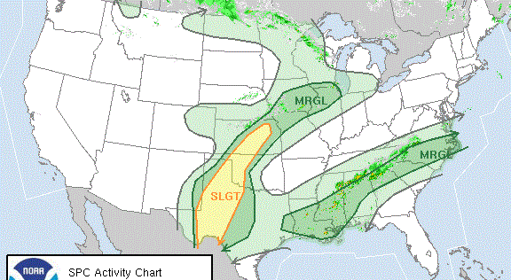
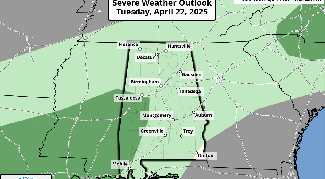
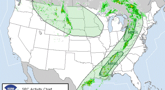
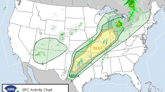
HOLIDAY WEEKEND FORECAST: We will deal with storms throughout the holiday weekend. Convection will develop today and tonight in the warm, humid air mass from Mississippi across south central Alabama into southern Georgia. Some storms will be strong to severe. We will deal with damaging winds in the stronger ones. There is a small chance of larger hail and even a small possibility of a tornado. Expect the unexpected.
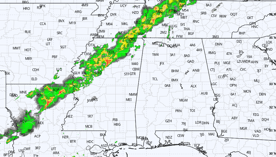
MORNING STORMS: Storms that developed over eastern Oklahoma and Texas last night are reaching the Tennessee Valley of north Alabama down into the I-20 corridor. They may be wet and loud with some thunder, but they shouldn’t be severe. But they will lay down another outflow boundary that will be a focus for thunderstorm development by midmorning. These storms could become strong or even severe from the I-20 corridor southeastward through central Alabama and into south Alabama later in the day.
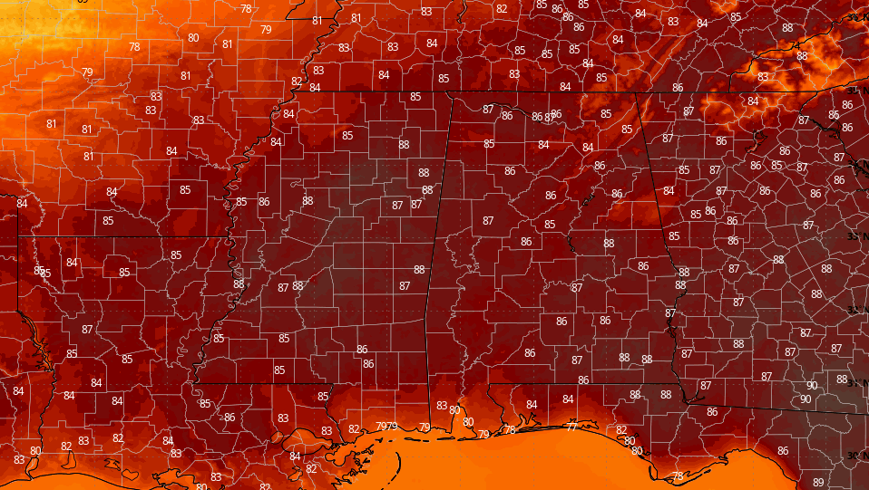
ROUND TWO TODAY: Another batch of strong to severe storms will form over north and central Alabama during the late afternoon, bringing the threat of damaging winds, hail and even a small chance of a tornado. Those storms should peak between 8 and 9 p.m. Highs today will be in the middle and upper 80s. Lows tonight will be in the upper 60s in the north and east and in the 70s elsewhere across the state.
SUNDAY’S WEATHER: The system on Sunday may support up to three rounds of strong thunderstorms, especially north of Alabama. The day looks dry for now, warm and very humid. Highs will be between 89 and 92 degrees. A line of storms will move into Alabama overnight. The storms could be strong to severe, especially the earlier they arrive.
MEMORIAL DAY: The front should push far enough south to cause storms to fire out of the I-20 corridor. They could be strong to severe over south central and south Alabama. Highs will be in the upper 80s.
THE WORK WEEK: Drier, slightly cooler air will move into north and central Alabama from Tuesday through Friday. Highs on Tuesday, Wednesday, Thursday and Friday will be in the lower to middle 80s. Dewpoints will be in the 50s through the end of the week.
TROPICS: It’s not good news. NOAA is forecasting 17-25 named storms for the North Atlantic Hurricane Season (the average is 14). They predict eight to 13 hurricanes. The average is seven. They forecast four to seven major hurricanes. The average is three. It’s a good time to walk through your preparation if you have interests along the coastline. Check your insurance. Trim back overgrown trees that could threaten the property.
ON THIS DATE IN 1955: Two tornadoes struck the town of Blackwell, Oklahoma, within a few minutes during the evening. Nineteen were killed and 500 injured. The same thunderstorm later produced a tornado that almost destroyed the town of Udall, Kansas. Eighty people were killed in Udall with 270 injured, more than half of the town’s population. This was the last tornado in the United States to cause 50 or more deaths in a single town before the Joplin tornado of 2011. A tornado watch had been in effect earlier in the evening, but it was canceled about an hour and a half before the tornado struck the town at 10:30 p.m. The tornado destroyed the town’s new high school and its water tower.
For more weather news and information from James Spann, Bill Murray and other members of the James Spann team, visit AlabamaWx.
